Home › Forums › Ride Reports › Sunday last minute ride !
This topic contains 10 replies, has 0 voices, and was last updated by Adam Rodgers 11 years, 11 months ago.
-
AuthorPosts
-
March 23, 2014 at 6:19 am #103780
First up I apologise to anyone that would have liked to tag along today :whistle:
I slept in this morning and when the missus declared she was doing housework and washing I thought, “Stuff it, I`m goin` for a ride”. :laugh:
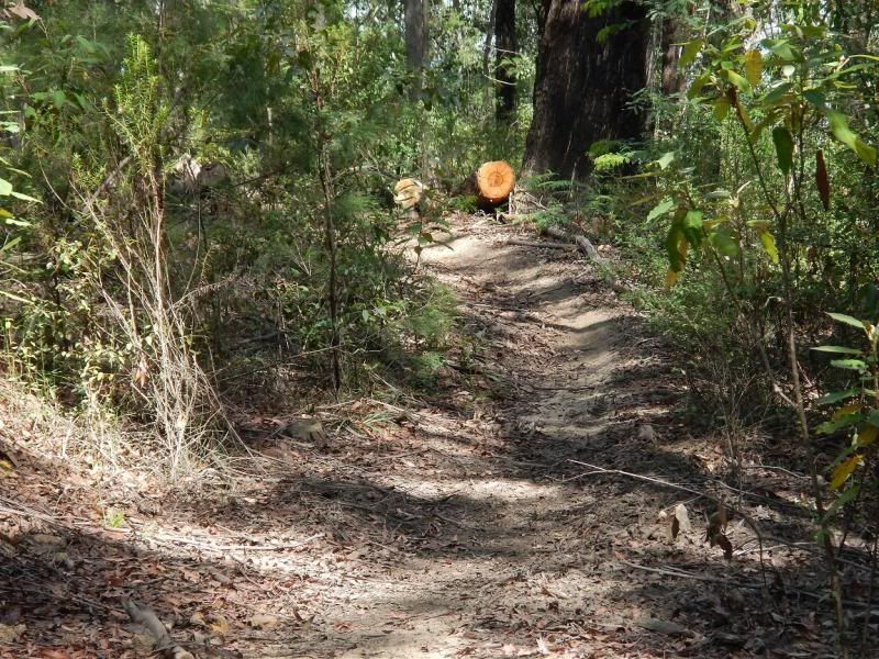
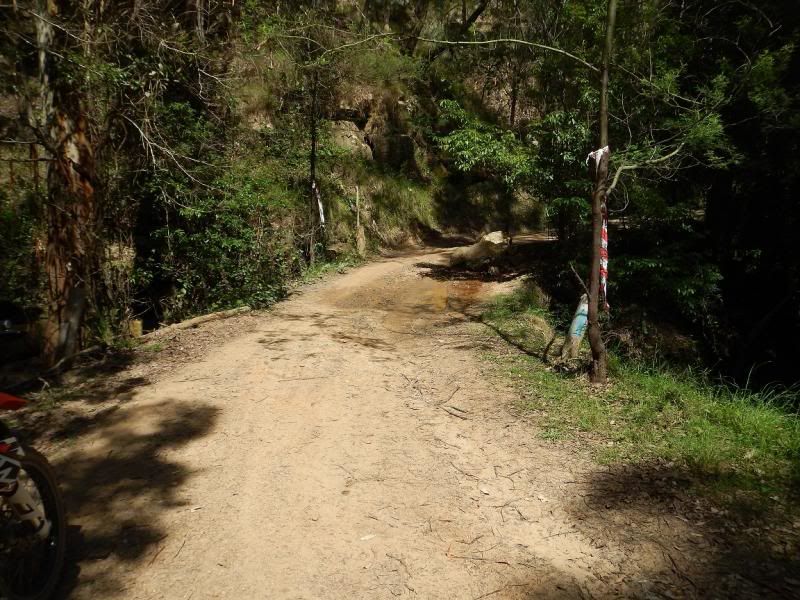
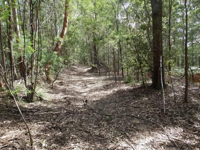
So geared up in a hurry and left home around 10.30 heading to nowhere in particular.Ended up at Yarramalong via the back roads from Lake Macquarie then headed up Cedar Brush Creek Rd. This is a great windy shaded trail that leads up towards the Letter A.
Cedar Brush Crk RD heading up from Yarramalong
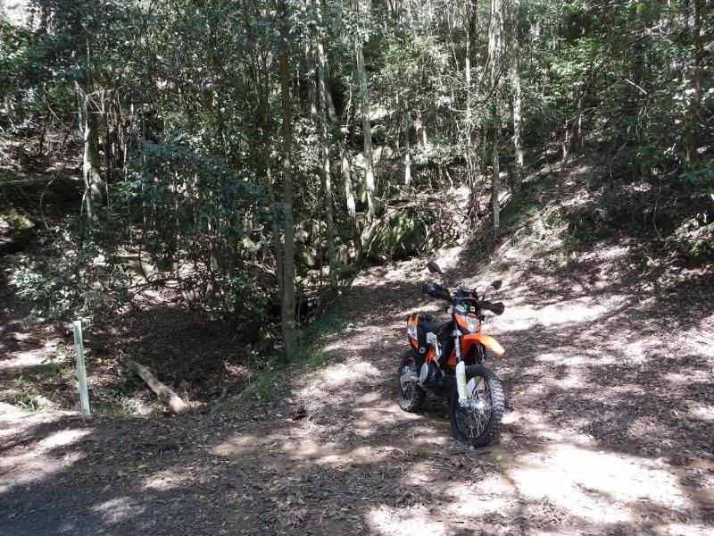
Looks like a Murph project in creek line here at a rest stop for a pee.
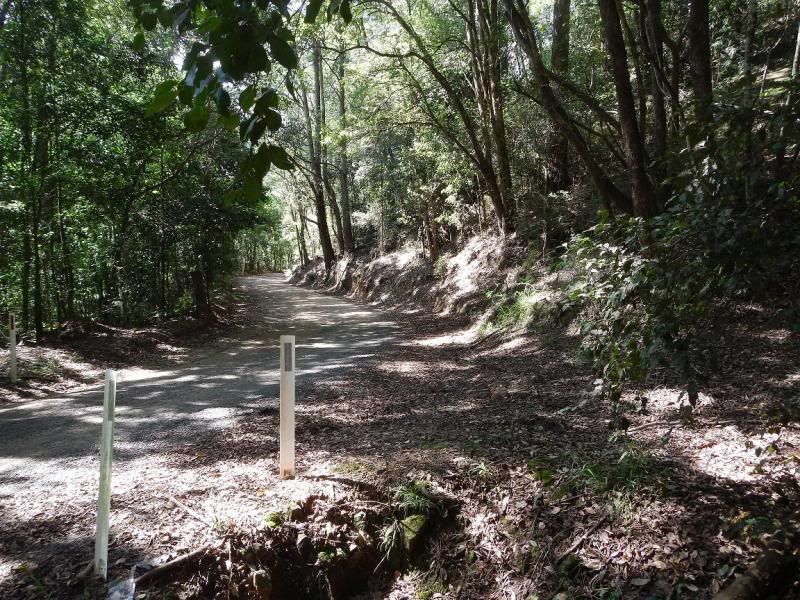
I ended up heading out and around the Walkers Ridge Trail loop and back to the start pretty much, not many people had been down there and the quietness was fantastic.
")
I did a couple of the short singles that follow the sides of the main trail through the Watties and even did some trail grooming for Snowey & Co

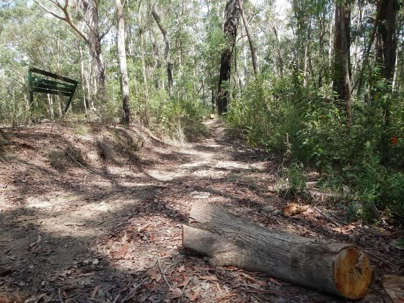
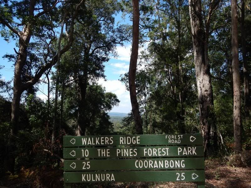
Ha ha, not me but at least Snowy can rest easy and leave his chainsaw at home in a couple of weekends time.Stopped off or another pee break and a drink near this sign
View to the Lake
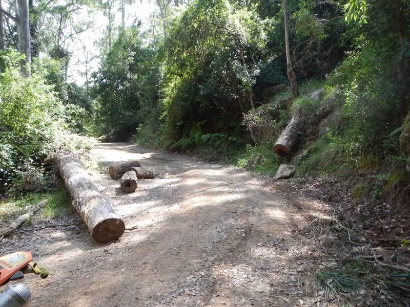
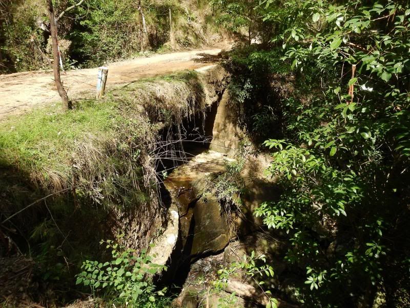
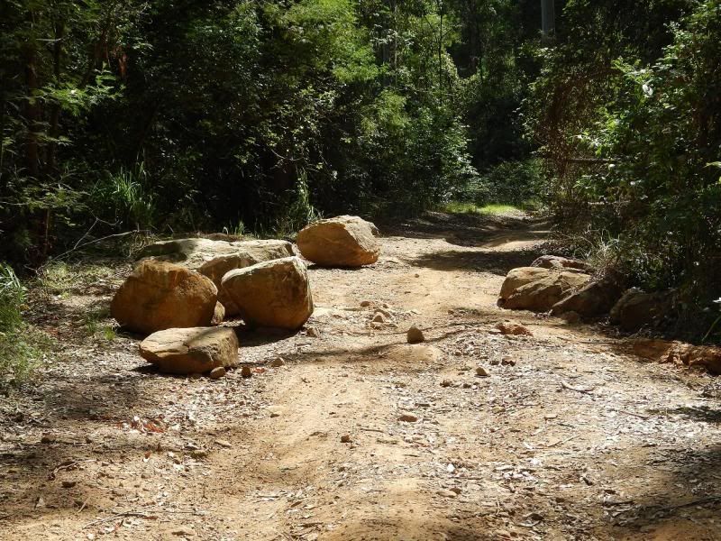
So then I decided to head down to check the Watagan Creek Rd bridge status and some idiots have moved some rock & tree barriers.
We gave this trail a miss a fortnight ago heading back from Laguna whan we saw the Road Closed sign on the Laguna end, and looped the long way back theu Murrays Run…The bridge is well passable on a bike, even some fools in 4×4`s have been still going across !!
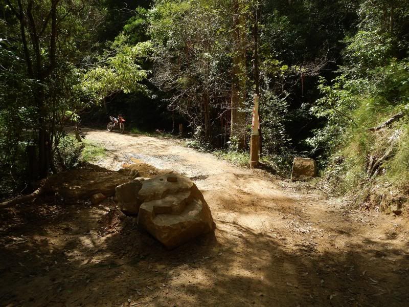
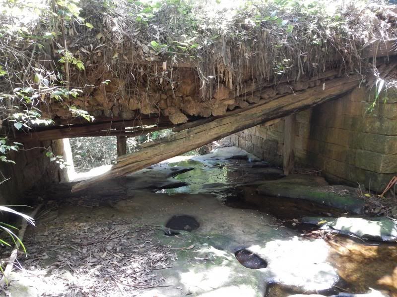
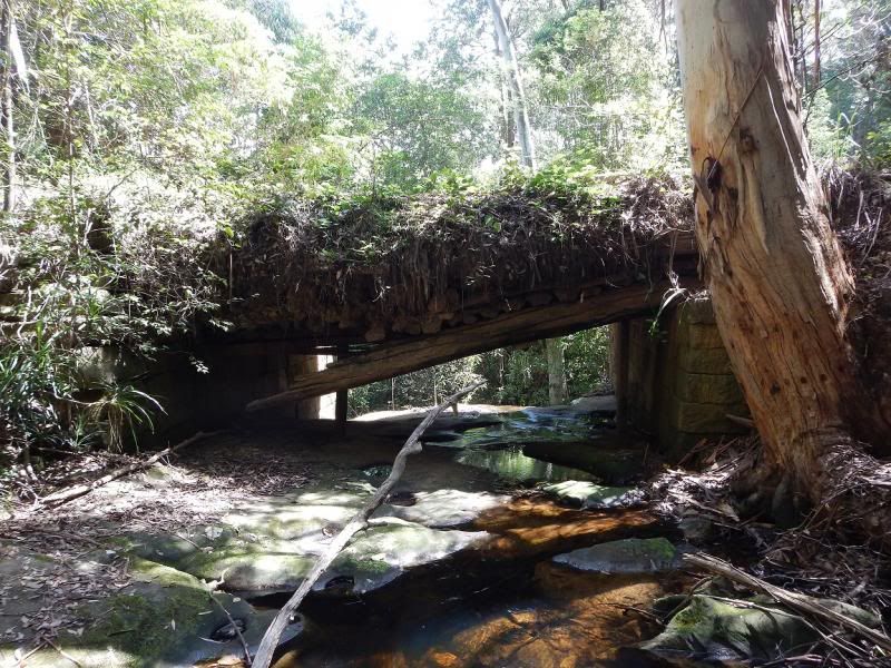
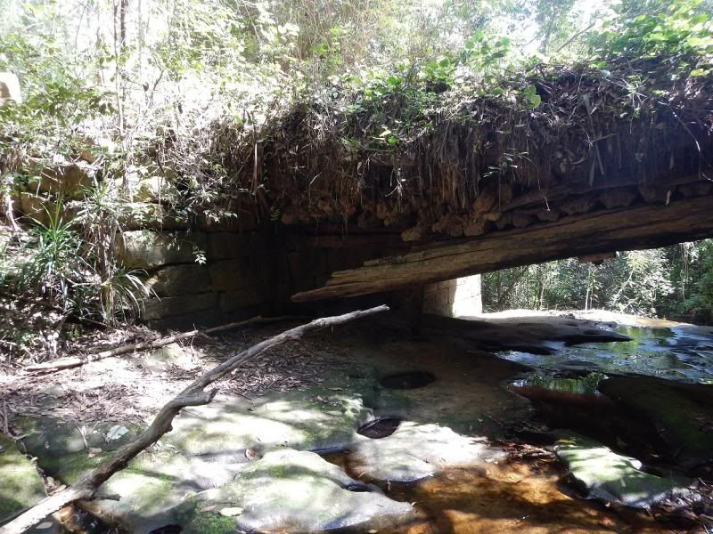
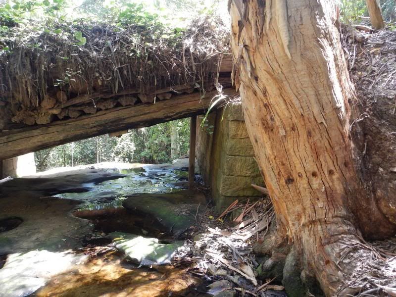
She aint gone yet, but I wonder just how long it will take to see some action from Council and get it repaired ??? Most likely will end up like our own local version of Mt Irvine Trail or The Bridal Trail !!! :S
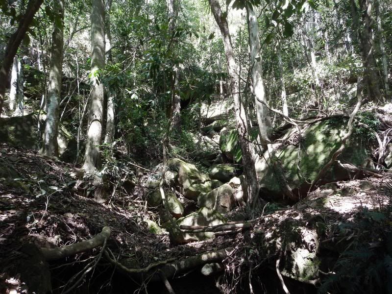
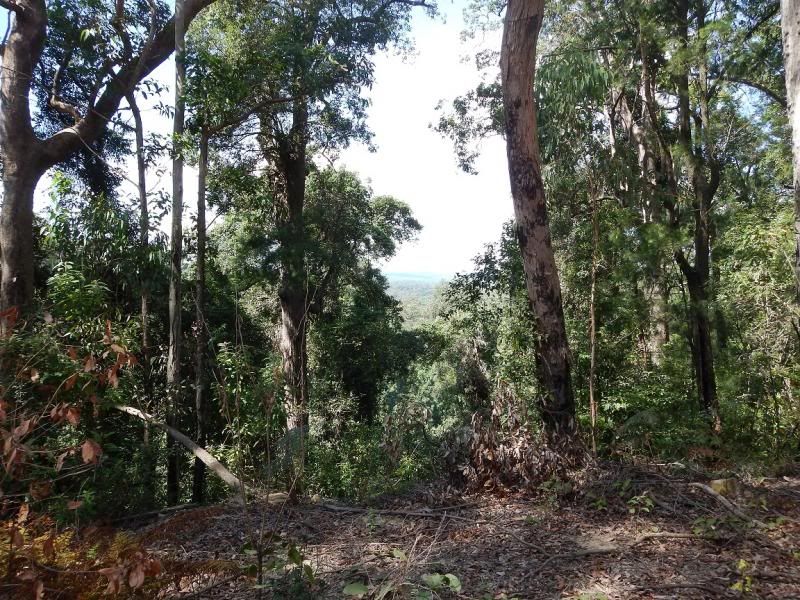
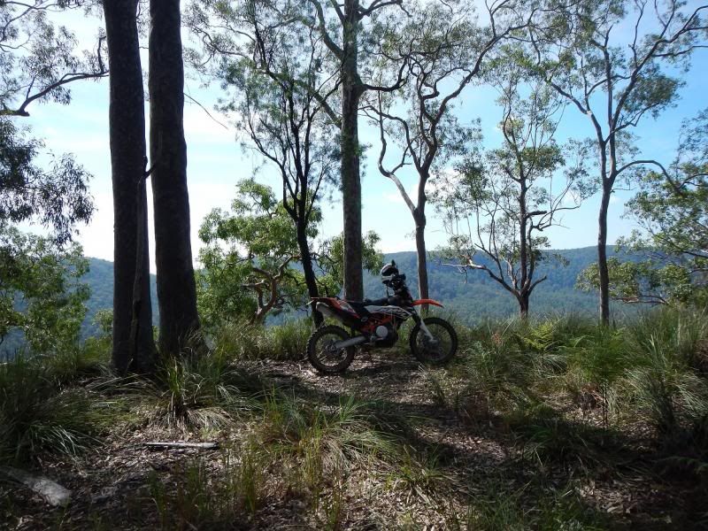
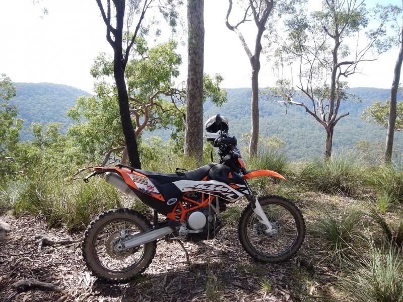
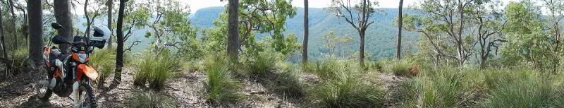
I then thought it was too early to head home just yet, so went looking up some old trails for the ridges and views over Congewai.
Noone has been here for a long while except for the feral pigs and a thousand goannas !!!

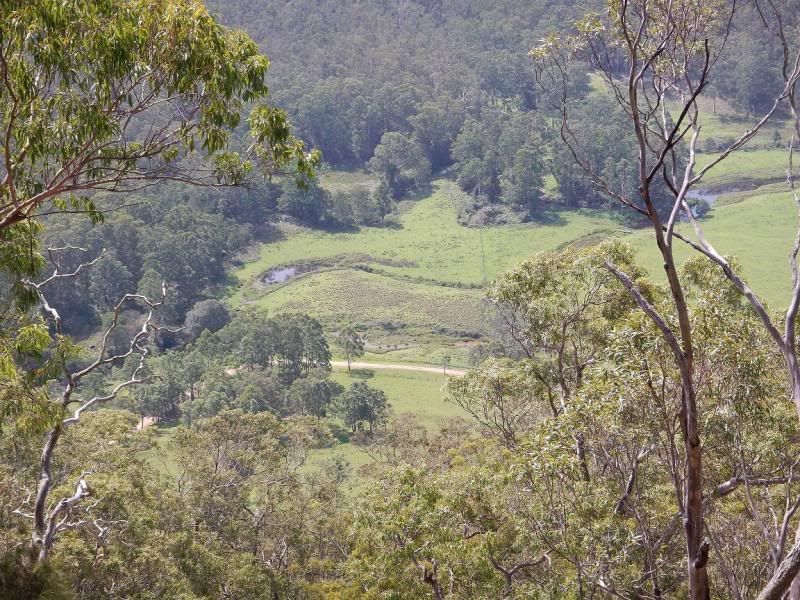
Great view from here
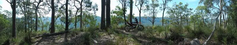
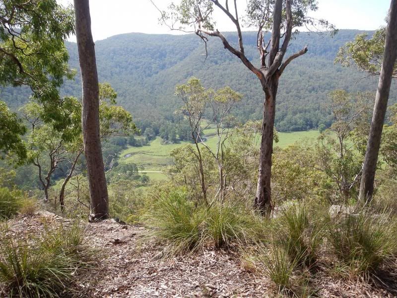
Congewai Valley


So then it was a straight run back over the top of the mountains, dodging about dozen peanuts in 4×4`s that like to hog all of the road for some reason,, before doing the usual trek through the bottom of the Mountain bike park on Becks Rd which is a tad rutted and sloppy still from recent wet weather. Swallowed my own heart just as Becks Rd opens up onto the straight gravel bit doing 75k and a roo as tall as my headlight hopped in front of the 690 and I somehow managed to miss the thing with the tip of his tail clipping the front guard :dry: :woohoo:
I then linked the powerline tracks to Osland Rd along to Freemans Waterhole & home on the blacktop.
A very enjoyable run solo in the end covering about 225klms in just under 5 hrs with plenty of time to poke around some old trails and enjoy the mountain air.
March 23, 2014 at 8:00 am #255118Good job Eags, any day anywhere on a bike is a good day, thanks
Better than shimming valves
TB
March 23, 2014 at 8:17 am #255119Yeh! nice one Eags,
") ,some days yu just got to get away from it eh! Get on the bike and go, good for the soul.
,some days yu just got to get away from it eh! Get on the bike and go, good for the soul.
Thanks for sharing.
Cheers Teza.March 23, 2014 at 8:32 am #255120Yeah guys,
A day on the bike is 1000 times better than a day at work Or shimming valvesThat was my last ride for a month as I`m finally heading off to Maryborough at the end of this week.
Then Easter is here for the usual run to Nundle I think (without the bike again)I might do a couple more days like this when I`m back, just poking around some old trails, seeing what`s out there and the condition of the local forest ,,,
Might even have an overnight campout out there somewhere and see if I can dodge the wildlife 😆Cheers
March 23, 2014 at 8:45 am #255121Nice pics of the views too bad about the Ktm getting in the way,
Looking forward to getting down that way soon.
") March 23, 2014 at 8:59 am #255122
March 23, 2014 at 8:59 am #255122Great photos. Looks like you had a ball. Cheers budge
March 23, 2014 at 9:17 am #255123Not a bad place to clear the head the wattagans Eagle, look forward to another run with ya
cowboy
March 23, 2014 at 9:35 am #255130Good one Wags! You may find that bridge is actually a State Forest effort rather than Council. Which will only make it less likely to be sorted in a hurry!
March 23, 2014 at 9:42 am #255132ECKS-Man wrote:Good one Wags! You may find that bridge is actually a State Forest effort rather than Council. Which will only make it less likely to be sorted in a hurry!Your spot on Ecks :whistle:
I have done some research tonite and it is State Forests (the signs were forestry signs on the trail as well)
The bridge is a convict bridge from the Great North RD, so it may just end up looking like the” Flat Circuit Bridge” near Mogo Creek on the way to St Albans :unsure: Rock slabs that will stand forever with no top whatsoever :pinch:
That bridge would have been built using exactly the same structure.Will be interesting to watch, as the creek rd is a well used access into and out of the Watagans as well as a vital fire fighting access road for the RFS.
Maybe Murph can get a gig as a consultant and find & then build a route around ??? :laugh:
Your spot on Cowboy,
It was a terrific head clearing day (except for the 4×4`s) :angry:March 26, 2014 at 12:42 am #255134Those pics of the valley look like rope rd
Have had picnics there with the family and even rock climbed some of the cliffs below the lookout :woohoo:
Nice spot, Eags
Cheers
MurphMarch 26, 2014 at 1:07 am #255249Murph the surf wrote:Those pics of the valley look like rope rd
Have had picnics there with the family and even rock climbed some of the cliffs below the lookout :woohoo:
Nice spot, Eags
Cheers
MurphI think your right Murph, We were poking round out there the other week looking for that track off Carrols (which we found).
Nice photos Eags and some top spots out that way.
I noticed the rocks and log had been moved from either side of the bridge. It’ll only encourage SF to make a bigger effort to block it and make it more difficult for bikes in the process.
4bies should look at the photos of the structural failure and note how lucky they were, and keep off it.
Adam.
-
AuthorPosts


You must be logged in to reply to this topic.